UAV Geospatial Intelligence & Drone Data Processing Solutions Manipur
Aerial Survey Data Engineering for Terrain Analysis, Infrastructure & Environmental Planning
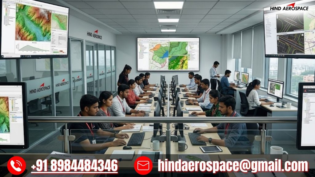
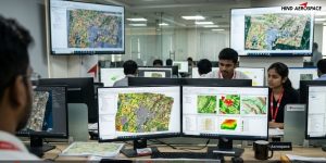
For projects across Manipur, Hind Aerospace delivers specialized drone data intelligence services that convert UAV-captured imagery into structured geospatial datasets. These outputs are designed to support terrain evaluation, infrastructure development, environmental monitoring, and land-use planning in complex valley and hill environments.
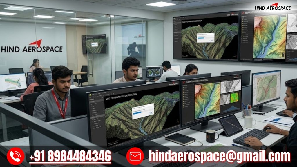
Valley Terrain Reconstruction & Elevation-Based Mapping
Drone datasets are processed into elevation models, slope maps, contour layers, DEM/DTM outputs, and 3D terrain reconstructions. These are essential for road alignment, settlement planning, landslide assessment, and infrastructure feasibility studies across Manipur’s varied topography.
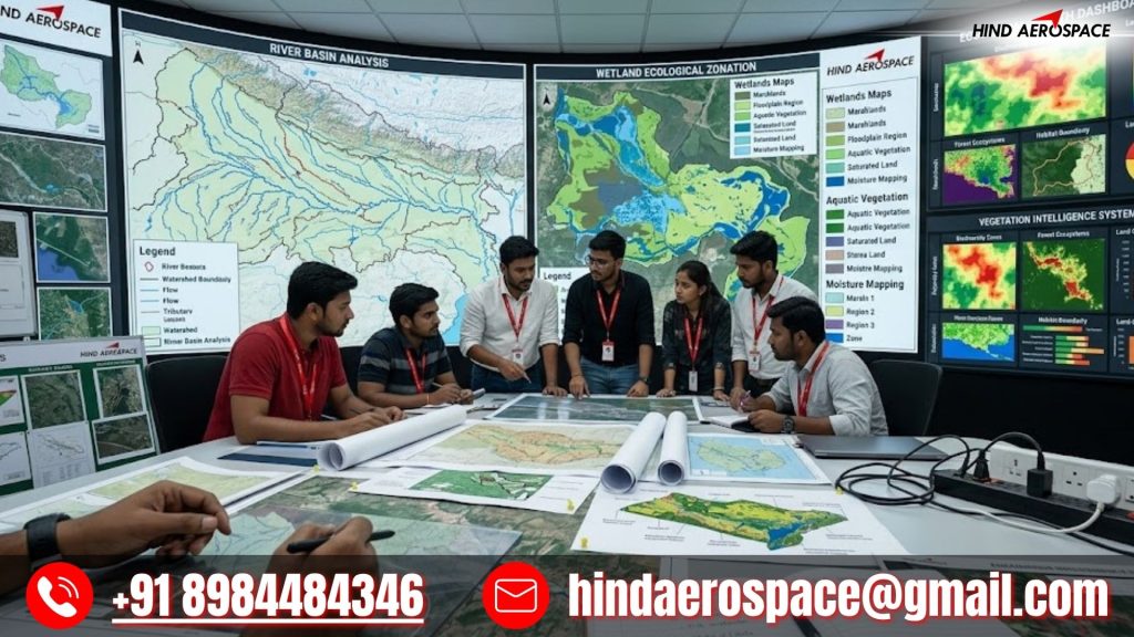
Wetland, River Basin & Ecological Mapping Outputs
Aerial imagery is transformed into hydrological maps, river basin structures, wetland distribution layers, and ecological monitoring datasets. These insights support flood assessment, water management planning, and environmental conservation initiatives in sensitive regions.
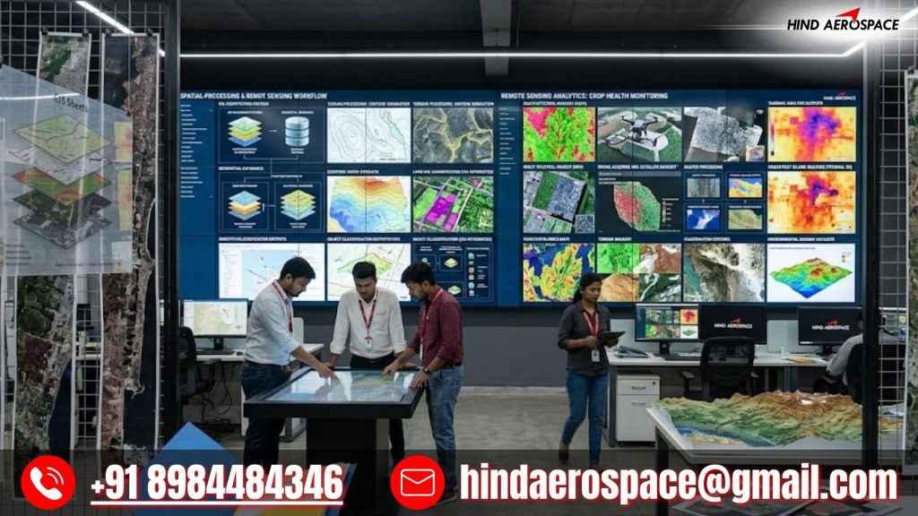
We provide GIS-ready dataset structuring, LiDAR point cloud processing, multispectral classification, and thermal data interpretation. These geospatial intelligence outputs are used for land analysis, forest mapping, site evaluation, and technical reporting for development projects.