Drone-Based Spatial Processing & Survey Output Services in Tripura
Aerial Mosaic Generation for Regional Land Assessment
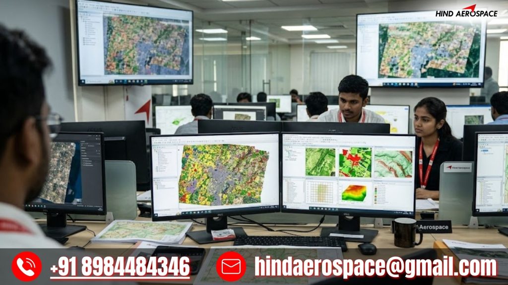
Hind Aerospace provides aerial mosaic generation services in Tripura to convert drone-captured imagery into accurate land assessment outputs. Processed survey datasets help project teams understand site conditions and improve project planning activities across different sectors.
UAV Raster Processing for Rural Development Survey Projects
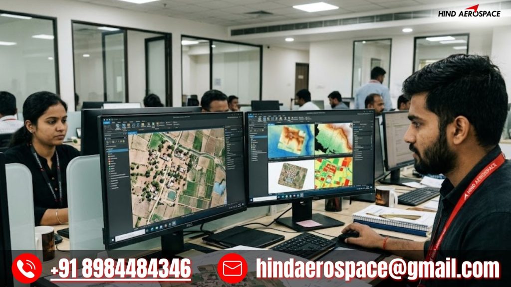
Rural development and regional survey activities require organized aerial information for better execution. Hind Aerospace processes UAV datasets into structured raster outputs that support survey analysis, planning workflows, and project visualization requirements.
Digital Topography Extraction for Terrain Evaluation Activities
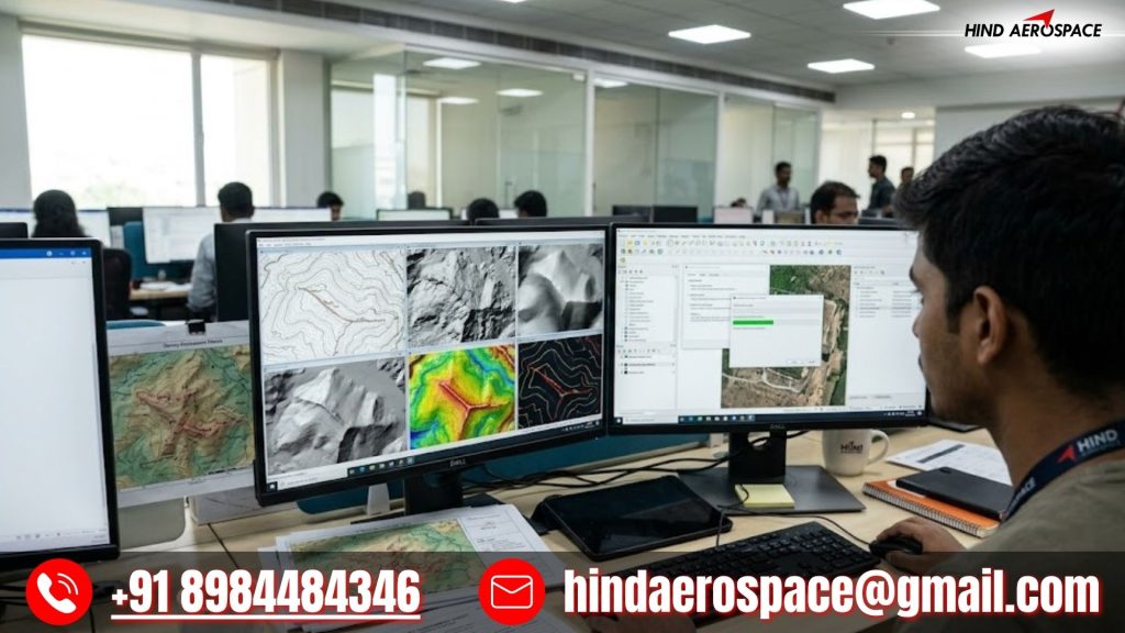
Terrain evaluation projects require detailed topographic information for effective planning and analysis. Our drone processing workflow generates digital topography outputs that help organizations improve site understanding and geospatial interpretation.
Image-Based Survey Intelligence for Infrastructure Expansion Projects
Infrastructure expansion activities require reliable aerial insights for efficient decision-making. Hind Aerospace transforms raw drone survey imagery into structured intelligence outputs that support monitoring, analysis, and regional project development.