About Us
We Are Hind Aerospace
At Hind Aerospace, we help people and businesses use drones in powerful and useful ways.
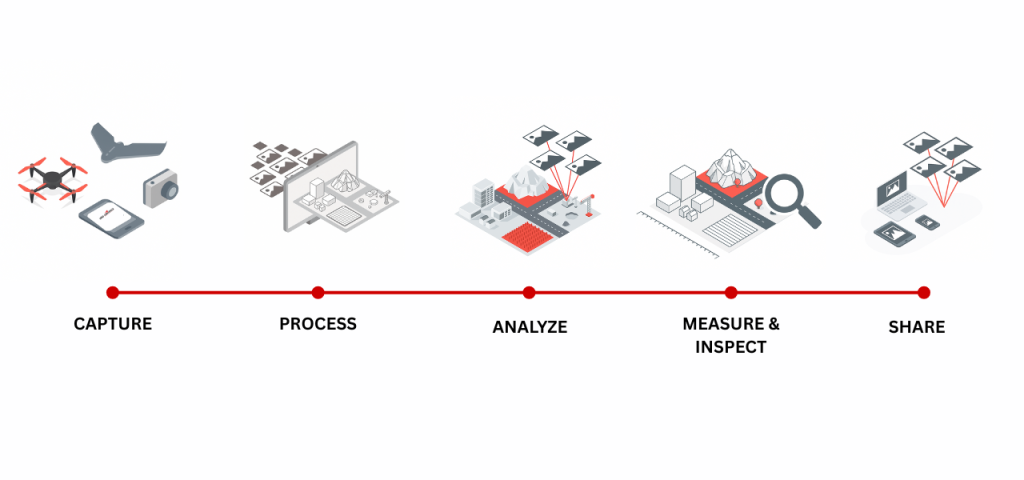
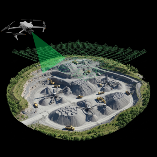
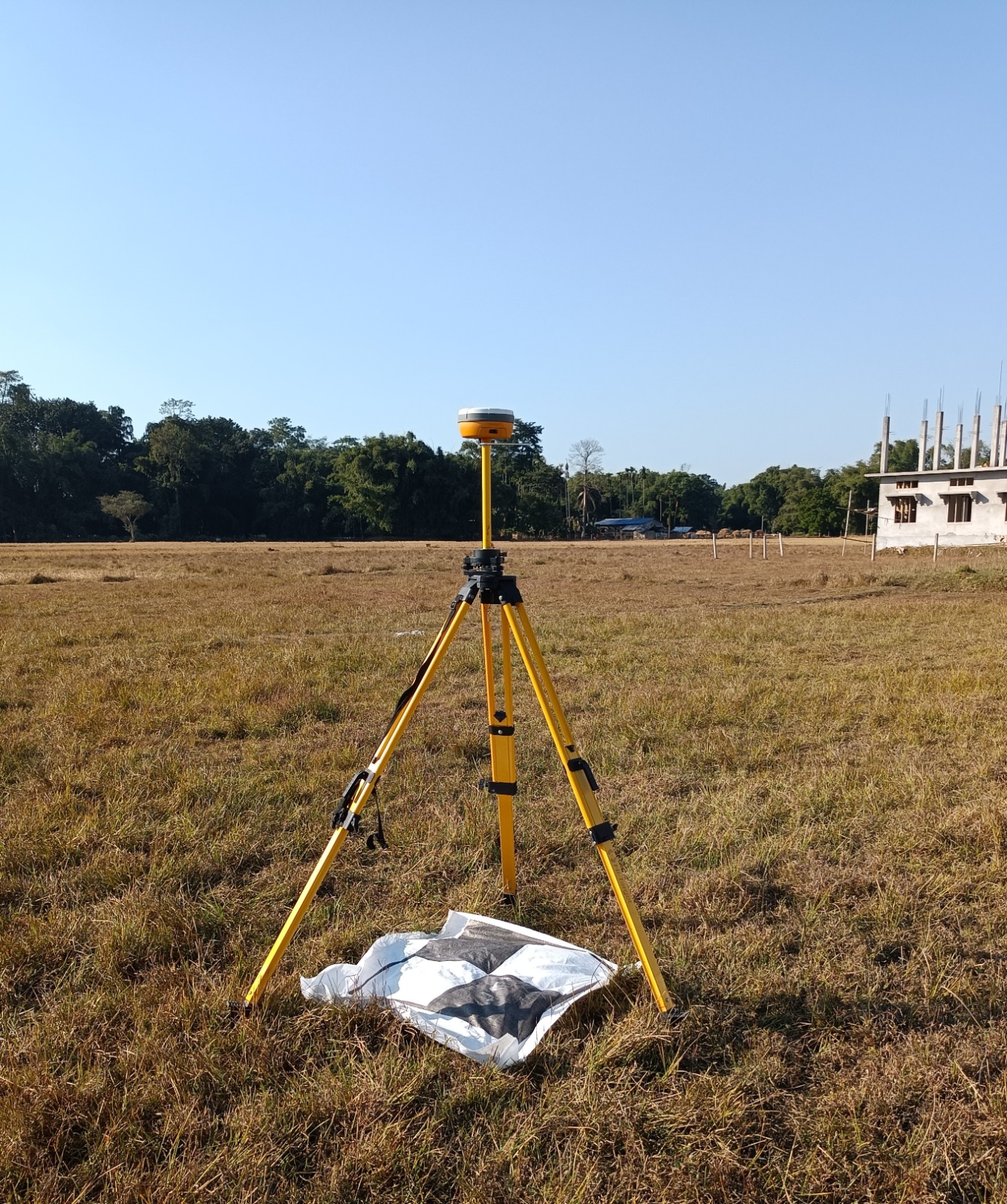
We provide complete drone mapping services—from data collection using drones to data processing and final map delivery. Our services include:
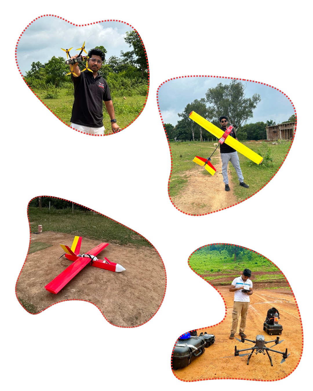
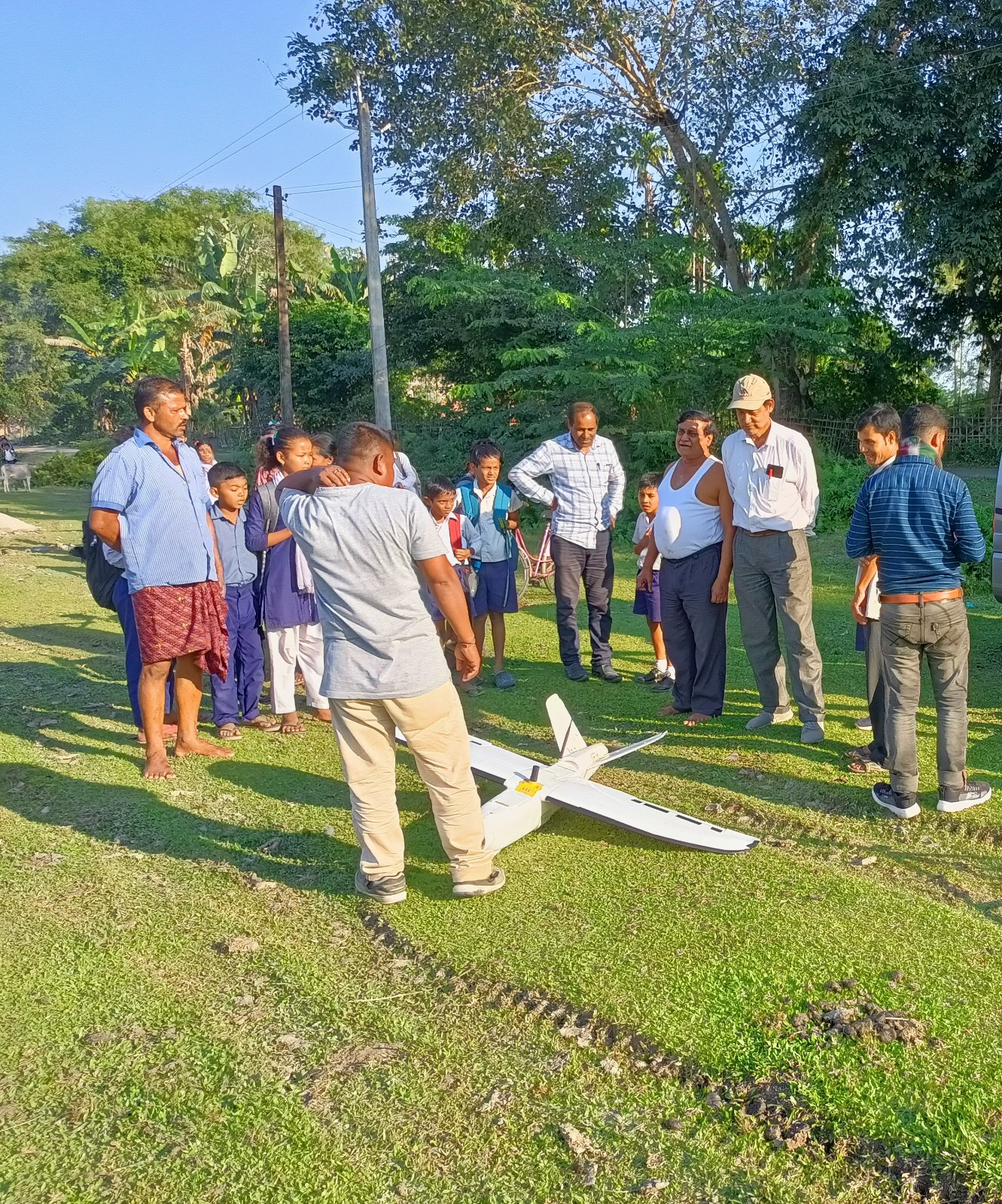
Drone data acquisition (flying drones to capture images)
Data processing to create maps
Post-processing for better accuracy
Creating contour maps
Generating DTMs (Digital Terrain Models)
Map printing in PDF format
CAD files for engineers and planners
We also design and build different types of drones, including surveillance drones, long-range kamikaze drones, and swarming drones for defence use.
Feel Free to contact with us... contact with us... contact with us...

Hind Aerospace
What We Do ??
We provide end-to-end solutions for drone mapping and surveying—from drone data collection to processing, contouring, DTM generation, and final map outputs in PDF and AutoCAD. Our services are accurate, reliable, and tailored to meet your project needs.
Transportation
01. Transportation
Renewable Energy
Renewable Energy
Mining
Mining
Utilities
Utilities
testimonials
We love our clients,
& they love us
Blog & Articles
recent Posts
Namo Drone Didi’ scheme: 1,021 drones allocated to Punjab, 583 to Haryana, says Centre in Lok Sabha
Namo Drone Didi’ scheme: 1,021 drones allocated to Punjab, 583 to Haryana, says Centre in Lok Sabha In a significant step towards agricultural modernization and
India Test-Fires Drone-Launched Missile, Marks Breakthrough in Defence Power India has taken a significant leap in its defence technology capabilities with the Defence Research and
BSF to Establish Drone Squadrons Along Pakistan Border After Operation Sindoor The Union government has approved the formation of specialized drone squadrons within the Border
DRONE MAPPING & SURVEY

OUR WORKFLOW