Intelligent Aerial Data Processing for Modern Survey Projects

Hind Aerospace provides advanced UAV data analytics and drone image processing solutions in Himachal Pradesh for organizations requiring precise geospatial intelligence. Our processing services transform raw aerial captures into structured digital outputs that improve project visualization, land analysis, and operational planning across multiple sectors.

Accurate Terrain Mapping & Digital Surface Modeling

Using high-resolution drone imagery and photogrammetry techniques, we create orthomosaic maps, 3D terrain models, contour datasets, DEM, DTM, and DSM outputs for detailed surface analysis. These drone mapping solutions in Himachal Pradesh are widely used in road construction, mountain infrastructure projects, hydroelectric planning, land development, and environmental monitoring applications.

Geospatial Intelligence with GIS & LiDAR Processing

Hind Aerospace offers GIS mapping, LiDAR data interpretation, thermal image processing, multispectral analysis, and georeferenced aerial mapping for survey-intensive operations. Our UAV data workflows help businesses in Himachal Pradesh generate accurate digital records, streamline inspections, and improve technical reporting with reliable spatial information.

Scalable Drone Image Processing for Industrial Operations

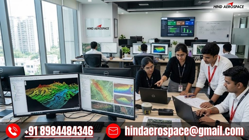
From volumetric analysis and land survey datasets to infrastructure inspection analytics and geospatial project documentation, our drone processing services are built for accuracy and efficiency. Hind Aerospace supports businesses in Himachal Pradesh with fast, reliable, and high-quality aerial data processing solutions tailored for modern engineering, construction, and survey requirements.