Precision Drone Mapping & Data Processing in Karnataka
Intelligent UAV Data Solutions for Modern Survey Operations
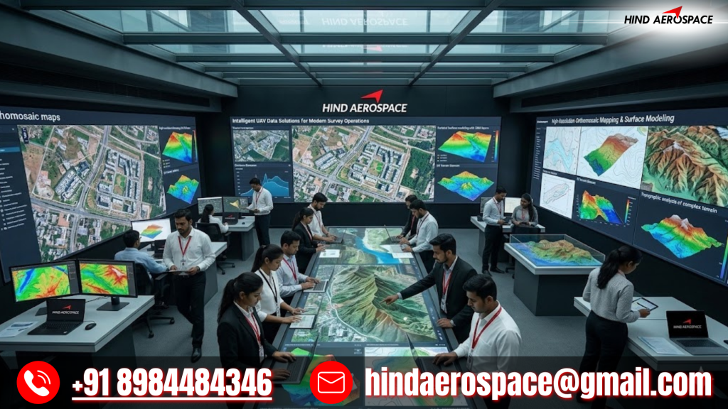
Hind Aerospace provides precision drone mapping and UAV data processing services in Karnataka for industries that depend on accurate aerial intelligence and reliable geospatial outputs. Our advanced processing capabilities help transform raw drone survey data into actionable digital information for planning, monitoring, inspection, and infrastructure management applications.
We generate detailed orthomosaic maps, 3D models, contour datasets, DEM, DTM, and DSM outputs using high-resolution drone imagery and photogrammetry techniques. These aerial mapping solutions in Karnataka support construction projects, industrial facilities, renewable energy sites, transportation planning, and land development operations where precise terrain analysis is essential.
GIS-Based Drone Analytics & LiDAR Data Interpretation
Hind Aerospace delivers GIS-integrated drone analytics, LiDAR processing, thermal image interpretation, multispectral data analysis, and georeferenced aerial mapping services across Karnataka. Our UAV data workflows improve site inspections, environmental assessments, infrastructure monitoring, and technical reporting with accurate and scalable geospatial intelligence.
Scalable Aerial Data Processing for Engineering Projects
From volumetric calculations and land survey mapping to infrastructure inspection analytics and project-based geospatial documentation, our drone processing services are designed for efficiency and accuracy. Hind Aerospace helps organizations in Karnataka streamline operations and gain faster access to high-quality aerial data for smarter project execution.