Advanced UAV Mapping & Geospatial Processing Services in Andhra Pradesh
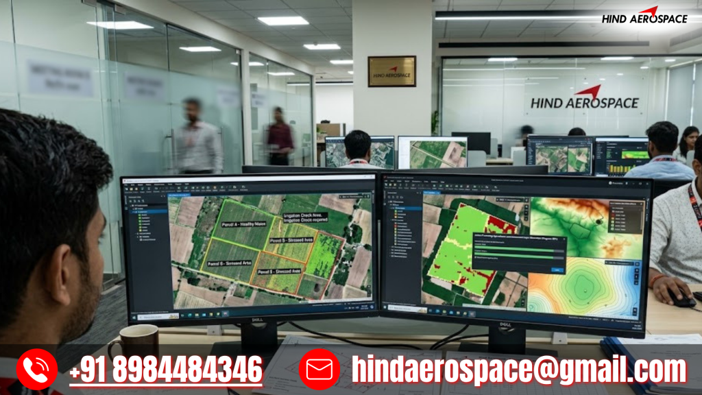
Drone Orthomosaic Processing for Agricultural Land Assessment
Hind Aerospace provides drone orthomosaic processing services in Andhra Pradesh for agricultural and land assessment projects. Processed aerial imagery helps project teams obtain accurate field visualization and structured geospatial information for better planning and monitoring.
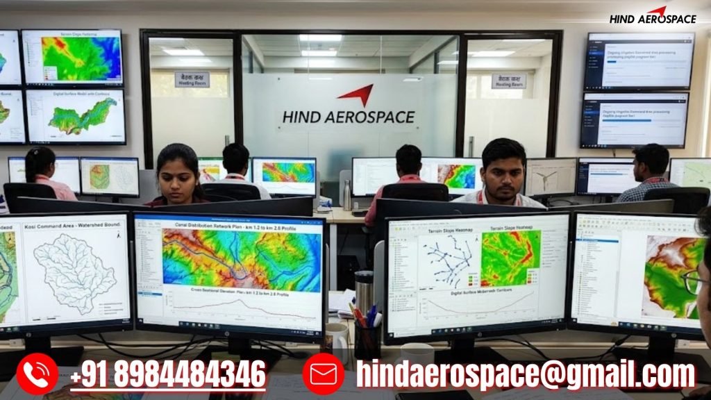
Digital Terrain Modeling for Irrigation Survey Projects
Large irrigation and water resource projects require detailed terrain understanding and elevation insights. Hind Aerospace processes UAV datasets into digital terrain outputs that support irrigation planning, land evaluation, and project analysis activities across Andhra Pradesh.
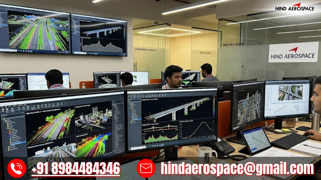
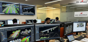
Aerial Point Cloud Processing for Infrastructure Survey Applications
Infrastructure and development projects generate large aerial datasets that require structured interpretation. Our point cloud processing solutions convert raw drone survey data into accurate and project-ready outputs for site analysis and engineering workflows.
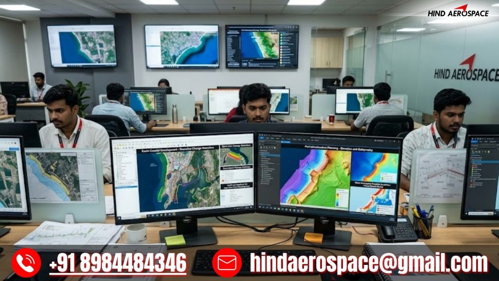
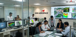
Geospatial Analytics Services for Coastal Development Planning
Andhra Pradesh’s coastal and urban development activities require reliable geospatial intelligence for efficient execution. Hind Aerospace delivers processed aerial datasets that support planning, monitoring, and development decisions across large project environments.