Drone Data Intelligence & UAV Geospatial Processing Services Punjab
Aerial Survey Data Engineering for Agriculture, Infrastructure & Industrial Planning
In Punjab, Hind Aerospace delivers advanced drone data intelligence services focused on converting UAV-captured imagery into structured geospatial datasets. These processed outputs support agricultural optimization, infrastructure development, land evaluation, and industrial planning with high precision and reliable spatial accuracy.
Punjab’s agriculture-driven landscape benefits from detailed drone-based analytics, where aerial imagery is processed into crop health maps, field variability models, and irrigation assessment layers. These insights support better yield planning, resource management, and data-driven farming decisions.
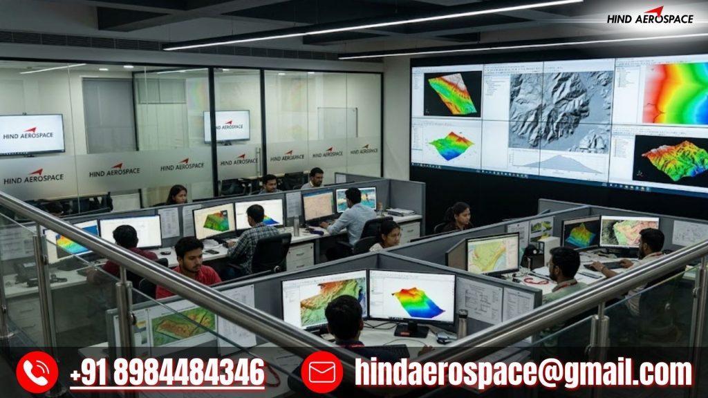
We generate DEM, DTM, DSM, contour mapping, and 3D terrain reconstructions using advanced photogrammetry workflows. These outputs are used for land assessment, drainage planning, infrastructure layout design, and large-scale development projects across Punjab’s varied terrain.
GIS Integration, LiDAR Processing & Spatial Data Structuring
Hind Aerospace provides GIS-ready data structuring, LiDAR point cloud processing, multispectral image analysis, and thermal dataset interpretation services. These geospatial intelligence outputs help in land-use classification, site feasibility studies, and engineering-grade reporting for government and private sector applications.