Drone Data Intelligence & Geospatial Processing Services in Telangana
UAV Imaging Conversion for Survey & Infrastructure Applications
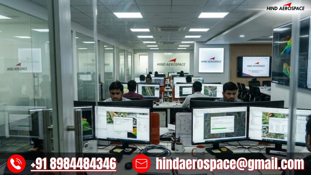
Hind Aerospace provides advanced drone data intelligence services in Telangana for organizations requiring accurate UAV-based survey outputs and structured aerial information. Our drone data processing workflow transforms captured imagery into usable digital datasets that support project planning, infrastructure monitoring, technical inspections, and development analysis with greater operational efficiency.
Orthomosaic Generation, Terrain Modeling & Surface Data Extraction
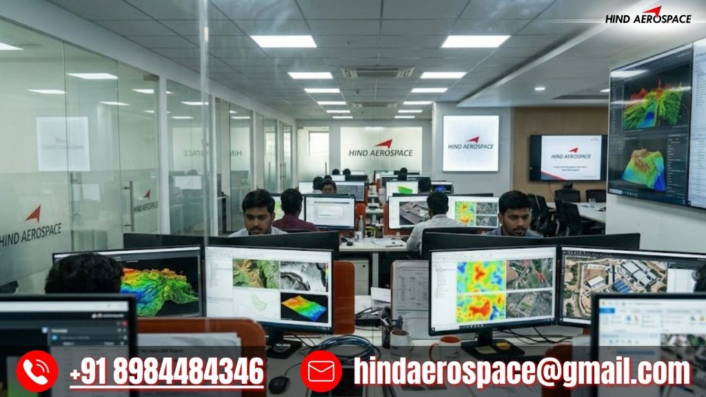
We specialize in orthomosaic generation, terrain modeling, DEM creation, DTM extraction, DSM processing, contour development, and 3D surface mapping using high-resolution aerial imagery and photogrammetry workflows. These drone mapping solutions in Telangana support industrial expansion projects, construction activities, transportation infrastructure, and land assessment operations where precise terrain analysis is essential.
GIS Interpretation, LiDAR Workflows & Aerial Data Analytics
Hind Aerospace delivers GIS interpretation, LiDAR workflows, georeferenced mapping, thermal image analytics, multispectral data processing, and aerial image interpretation services across Telangana. Our UAV processing ecosystem helps organizations improve environmental analysis, site evaluation, inspection accuracy, and technical reporting using scalable geospatial intelligence.
High-Resolution Drone Processing for Engineering Operations
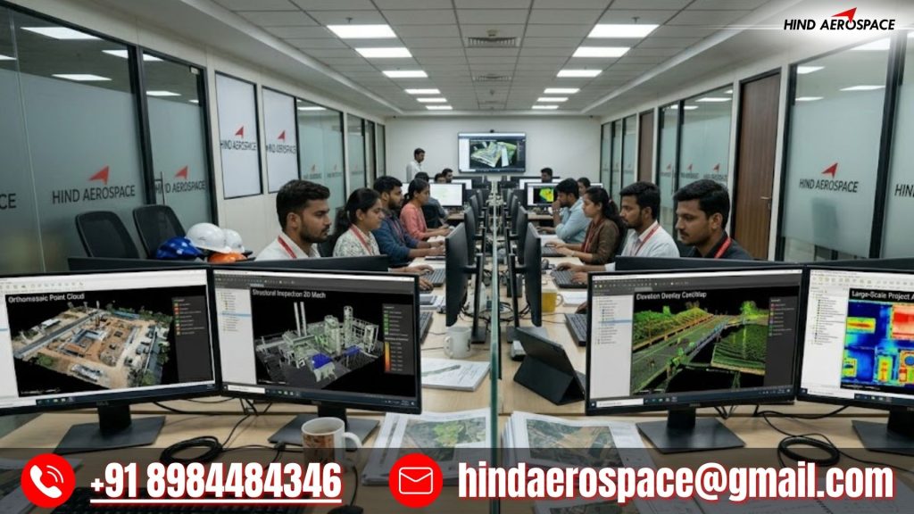
From volumetric survey datasets and land intelligence outputs to infrastructure inspection records and project-oriented geospatial documentation, our drone processing capabilities are built for modern operational requirements. Hind Aerospace ensures dependable drone data processing in Telangana with optimized workflows, precise outputs, and actionable aerial insights for efficient decision-making.