Drone Survey Intelligence & UAV Data Processing in Arunachal Pradesh
Aerial Dataset Structuring for Infrastructure Development Analysis
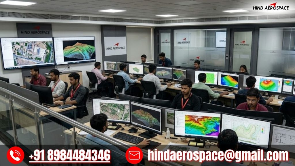
Hind Aerospace delivers advanced drone survey intelligence and UAV data processing services in Arunachal Pradesh for organizations seeking accurate aerial datasets and structured geospatial outputs. Our drone data workflow transforms raw aerial captures into organized digital information that supports planning, infrastructure assessment, site inspections, and project monitoring activities with improved efficiency.
We provide orthophoto processing, terrain reconstruction, DEM generation, DTM extraction, DSM development, contour mapping, and 3D surface visualization using high-resolution drone imagery and photogrammetry methods. These drone mapping services in Arunachal Pradesh support road development, hydropower projects, mountainous infrastructure planning, and land survey applications requiring detailed terrain interpretation.
GIS Data Analytics, LiDAR Interpretation & Remote Image Processing
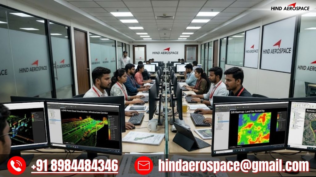
Hind Aerospace offers GIS data analytics, LiDAR interpretation, georeferenced mapping, thermal image processing, multispectral analysis, and aerial image workflows throughout Arunachal Pradesh. Our UAV processing solutions help organizations improve technical evaluations, environmental observations, inspection activities, and project documentation using dependable geospatial intelligence.
High-Accuracy Drone Imaging Outputs for Large-Scale Operations
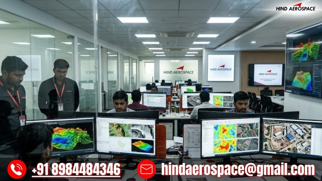
From volumetric calculations and land survey deliverables to inspection data interpretation and project-focused geospatial reporting, our drone imaging solutions are designed for modern operational requirements. Hind Aerospace provides reliable drone data processing in Arunachal Pradesh with precision, scalable workflows, and actionable aerial intelligence for informed project execution.