Drone-Assisted Mapping Data Processing Solutions in Uttar Pradesh
Aerial Surface Modeling for Regional Planning Requirements
Hind Aerospace provides aerial surface modeling services in Uttar Pradesh using processed UAV datasets for planning and site evaluation activities. Structured mapping outputs help organizations improve land understanding, assessment workflows, and regional development coordination.
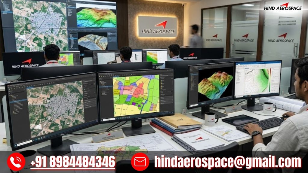
Geospatial Image Processing for Construction Survey Operations
Construction survey operations require accurate aerial information for efficient project execution. Our drone image processing workflow converts captured datasets into organized geospatial outputs that support monitoring, visualization, and infrastructure planning requirements.
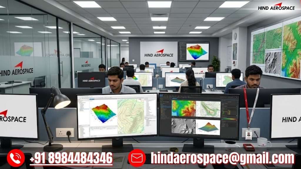
Elevation Dataset Preparation for Terrain Observation Tasks
Terrain observation projects depend on refined elevation datasets for better geographic interpretation and analytical review. Hind Aerospace generates processed elevation outputs from drone-acquired imagery to assist project teams in improving survey analysis and field assessment activities.
Orthomosaic Rendering for Large-Scale Area Documentation
Large-scale documentation activities require clear and properly aligned aerial imagery for effective reporting and planning. We process UAV survey data into high-clarity orthomosaic outputs that support regional documentation, mapping analysis, and operational decision-making workflows.