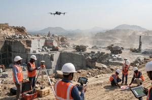
At Hind Aerospace, we provide professional drone survey services across Madhya Pradesh, supporting industries and government projects with accurate mapping and data-driven insights. Our UAV-based technology enables faster project completion while significantly reducing the cost and time compared to traditional survey methods.
Using advanced drones and GIS-enabled tools, we capture high-resolution aerial data and convert it into detailed maps, 3D models, and actionable analytical outputs. Our expertise spans multiple sectors including land surveying, infrastructure development, mining, agriculture, and construction monitoring.
With a strong focus on precision, efficiency, and regulatory compliance, Hind Aerospace is committed to supporting the infrastructure growth and development needs of Madhya Pradesh through modern and reliable drone solutions.
UAV Drone Survey and Aerial Mapping Solutions across Madhya Pradesh, delivering advanced geospatial services including high-resolution aerial imaging, precise photogrammetry-based mapping, LiDAR-supported surveying, multispectral data analysis, efficient drone data processing, detailed site inspections, and solar PV plant monitoring.
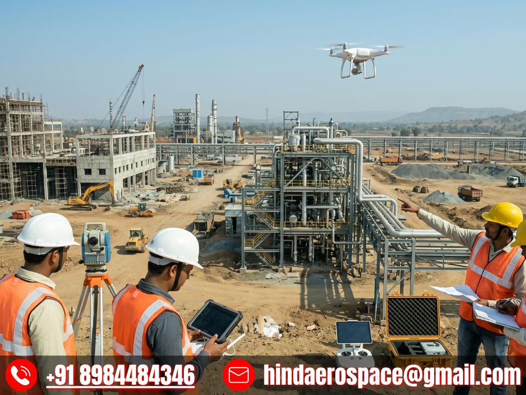
At Hind Aerospace, we deliver advanced UAV drone survey and aerial mapping solutions across Madhya Pradesh, offering accurate and reliable geospatial data for diverse industrial needs. By integrating modern drone technology with advanced surveying practices, we assist organizations in capturing precise information that improves planning efficiency, monitoring capabilities, and decision-making processes.
Our services include high-resolution photogrammetry for detailed terrain analysis and LiDAR-based surveying for capturing precise elevation and surface variations, even in complex landscapes. We also provide multispectral imaging solutions that support agricultural assessment and environmental monitoring, helping improve productivity and resource management.
Additionally, we specialize in aerial videography, infrastructure inspection, and end-to-end drone data processing. The collected aerial information is converted into useful outputs such as orthomosaic maps, 3D models, and GIS-ready datasets for practical applications.
We also offer solar PV inspection services that help detect faults, enhance system performance, and support long-term maintenance planning for solar installations.
With a strong focus on innovation, accuracy, and safety compliance, Hind Aerospace provides complete drone-based solutions for industries including infrastructure, mining, energy, agriculture, and construction across Madhya Pradesh.
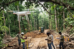
UAV Survey & Mapping Team in Madhya Pradesh
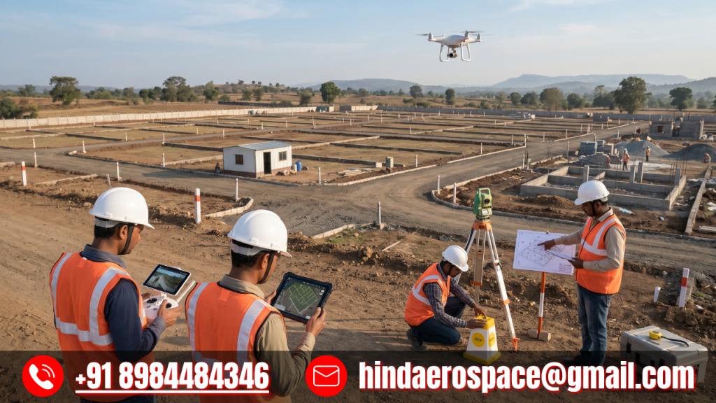
At Hind Aerospace, our skilled drone survey and mapping team operates across Madhya Pradesh, providing dependable UAV-based solutions for accurate data collection and analysis. We cater to a wide range of industries by delivering efficient aerial surveying, mapping, and inspection services customized to specific project needs.
Our team blends on-ground experience with advanced drone technology to ensure seamless field operations while capturing high-quality geospatial data. This supports better visualization, smarter planning, and quicker decision-making for projects in infrastructure, agriculture, construction, and land development sectors.
With a strong emphasis on precision, safety practices, and modern surveying tools, we convert complex terrains into clear, actionable insights. Hind Aerospace is dedicated to helping clients improve project efficiency and optimize resource utilization across Madhya Pradesh.
Drone Survey & Inspection Solutions in Madhya Pradesh
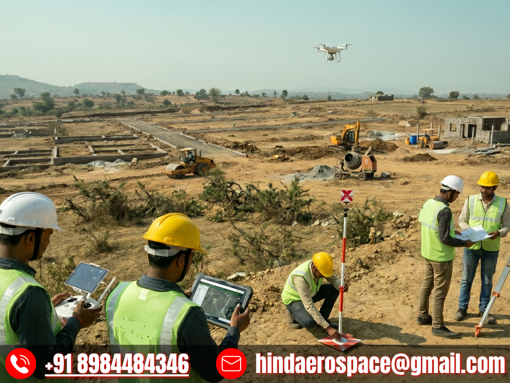
Hind Aerospace provides reliable drone survey and inspection services across Madhya Pradesh, delivering high-accuracy aerial data for diverse project requirements. By leveraging advanced UAV systems, we support industries in gathering precise information for infrastructure development, construction monitoring, agriculture, and industrial applications.
Our field team ensures efficient on-site execution while transforming complex aerial datasets into clear, actionable insights. This helps clients enhance planning efficiency, track project progress more effectively, and achieve faster completion timelines.
With a strong focus on precision, safety standards, and consistent quality, Hind Aerospace delivers trusted drone solutions that empower smarter decision-making and improved project outcomes across Madhya Pradesh.